
Original bilingual journalism · English & తెలుగు
Cyclone Arnab: landfall between Bapatla and Visakhapatnam on the morning of 28 October, red alert for 13 districts
The deep depression over the Bay of Bengal became a cyclonic storm on the morning of 26 October. The weather office expects it to turn very severe on 27 October and cross the coast on 28 October with winds of up to 125 kmph. Ten NDRF and eleven SDRF teams are in position along the coast.

The system that had been gathering strength over the Bay of Bengal for two days became a cyclonic storm on the morning of 26 October and was given the name Arnab. In the India Meteorological Department’s 5:30 am bulletin the centre lay 650 km east-southeast of Visakhapatnam, 730 km from Kakinada, 830 km east of Machilipatnam and 910 km east of Bapatla, moving west at 15 kmph.
The weather office expects it to keep strengthening, becoming a severe cyclonic storm by midnight on 26 October and a very severe one on 27 October. It is expected to cross the Andhra Pradesh and Yanam coasts between Bapatla and Visakhapatnam by the forenoon of 28 October, with sustained winds of 115 to 125 kmph and gusts of up to 140.
Where the rain will fall
The weather office has a red alert on Krishna and Bapatla districts for 27 October and on 13 districts for 28 October. Coastal Andhra and Yanam will get heavy to very heavy rain on 27 and 28 October, extremely heavy in places, and heavy rain is likely to continue on 29 October, reaching into Rayalaseema. The State Disaster Management Authority’s projections put the average at 292 mm in Anakapalli, 281 mm in Alluri Sitharama Raju, 254 mm in Visakhapatnam and 249 mm in Srikakulam. Srikakulam, Vizianagaram, Visakhapatnam, Anakapalli, Manyam and Alluri face downpours; East Godavari, Konaseema and Kakinada face heavy rain and waterlogging.
What the state is doing
Chief Minister N. Chandrababu Naidu reviewed preparations on the evening of 25 October at his Undavalli camp office with Chief Secretary Sai Prasad, DGP Harish Kumar Gupta and the district collectors. He set the target at zero casualties and the least possible damage to property, ordered every fishing boat at sea back to shore, placed the collectors of the Konaseema, Yanam and Kakinada belt on high alert and told the irrigation department to route the expected floodwater into reservoirs. Ten NDRF and eleven SDRF teams are stationed across the state. Officials say about 5.7 lakh people are in the vulnerable zone and evacuations begin on the evening of 26 October.
The health department has its own list: 26,768 expectant mothers with due dates between 23 October and 6 November, of whom those in low-lying areas will be moved to hospitals ahead of the storm. Government hospitals will run emergency services without a break from 27 to 30 October.
“The next three days are extremely crucial,” said Prakhar Jain, managing director of the disaster management authority, asking coastal residents to follow official advisories. The helplines 112, 1070 and 18004250101 are open. Next door, a red alert covers the southern districts of Odisha.
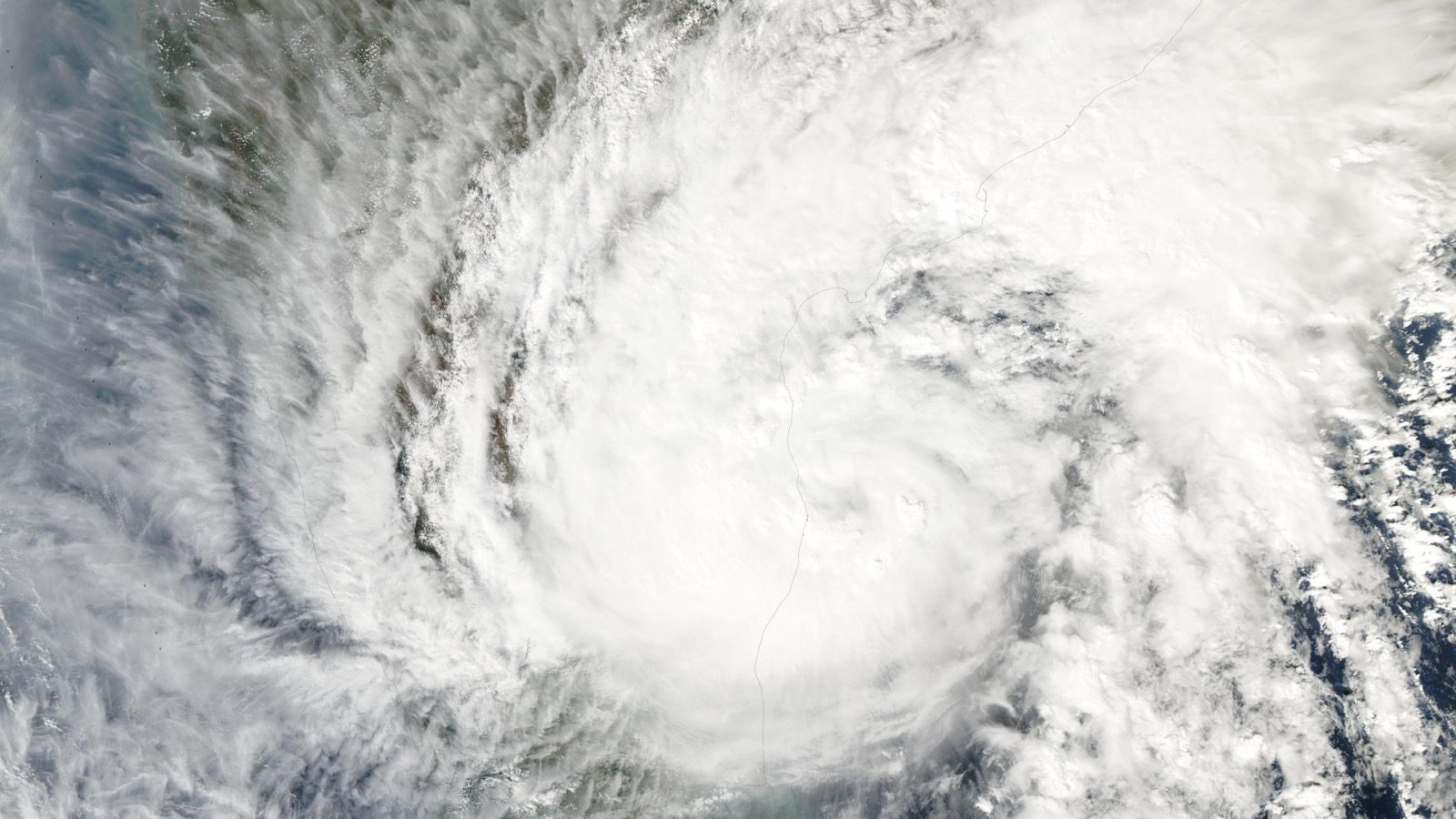
File image: Cyclone Michaung over the Bay of Bengal in December 2023. Photo: NASA
More Stories
 Andhra PradeshFresh nominations in four towns only, and municipal polling moves to 1 November
 Andhra Pradesh“Criminal litigant”: Naidu turns on Jagan with videos, a booklet and a set of numbers
 Andhra PradeshBefore a single vote is cast, Andhra’s local elections are being fought at the nomination counterAndhra PradeshNaidu and YSRCP trade charges of violence and obstructed nominations in Andhra Pradesh’s local body polls
 Andhra PradeshBay of Bengal low expected to become a cyclone on 26 October; coastal Andhra braces for heavy rain on 27 and 28 October
 Andhra PradeshNaidu sets December 2028 for 36 irrigation projects and orders Chintalapudi works to restart in November