
Original bilingual journalism · English & తెలుగు

Bay of Bengal low becomes a depression: what Andhra faces day by day to 20 November
The low over the Bay of Bengal intensified into a depression by 5.30 am on Sunday, 15 November, and IMD expects a severe cyclonic storm by Tuesday. No Andhra Pradesh district carries a warning until Wednesday; rain peaks on Thursday, when four north Andhra districts are on orange alert.


The well-marked low over the south-east Bay of Bengal “intensified into a Depression”, the India Meteorological Department (IMD) said in its national bulletin issued at 9.02 am on Sunday, 15 November. At 5.30 am it lay about 1,040 km south-south-east of Visakhapatnam. On land, the system spares Andhra Pradesh for three days: no district carries a warning until 8.30 am on Wednesday, 18 November.
IMD expects it to keep moving north-north-west, strengthening into a cyclonic storm on Monday, 16 November, in the central parts of the south Bay and the adjoining west-central Bay, and reaching severe cyclonic storm strength over the west-central Bay on Tuesday, 17 November. No landfall point has been named.
Day by day: quiet till Tuesday, heaviest on Thursday
Sunday and Monday, 15 and 16 November: no warnings on land and, at most, light rain in one or two places in Bapatla, Prakasam, Nellore, Tirupati and Chittoor. Boats still out were told to return by Sunday, and squally winds of 40-50 kmph, with gusts of 60, are forecast offshore from Monday.
Tuesday, 17 November: still no district warning. Winds along and off the coast rise to 55-65 kmph, with gusts of 75, and hold through Wednesday; the south-west Bay gets gales of 60-70 kmph.
Wednesday, 18 November: every coastal district from Srikakulam to Nellore, and Yanam, goes on yellow alert, for heavy rain in Srikakulam, Parvathipuram Manyam, Vizianagaram and Alluri Sitharama Raju and for gusty winds elsewhere.
Thursday, 19 November: Srikakulam, Vizianagaram, Visakhapatnam and Anakapalli are on orange alert for heavy to very heavy rain at isolated places. Parvathipuram Manyam, Alluri Sitharama Raju, Kakinada, East Godavari, Konaseema, Eluru, West Godavari and Yanam are on yellow for heavy rain, and IMD’s national bulletin adds thundersqualls of 50-60 kmph, with gusts of 70, over coastal Andhra Pradesh.
Friday, 20 November: heavy rain stays likely in the six north Andhra districts, Kakinada and Yanam. Rayalaseema’s eight districts have no warning on any day. The Meteorological Centre in Hyderabad said on Saturday evening that Telangana stays dry until the morning of 19 November, then sees isolated light to moderate showers for two days, with no warning.
What IMD expects on the ground
For the heavy-rain days, IMD lists snapped branches, minor damage to huts and kutcha houses, flooded low-lying areas and disrupted road and rail traffic. It advises people: “Do not take shelter under trees, as there could be lightning.” IMD has told fishermen to stay off the Andhra coast from 16 to 18 November, the south-west Bay until 18 November and the central Bay until 19 November.
File photo. Rough sea at Thotlakonda beach near Visakhapatnam on 2 May 2019, as Cyclone Fani moved up the Bay of Bengal. Photo: IM3847 / CC BY-SA 4.0 via Wikimedia Commons
More Stories
 Andhra PradeshSecond Kia plant in Andhra Pradesh to start production in early 2030
 Andhra PradeshOrange alert for four north Andhra districts on 19 November as Bay low deepens
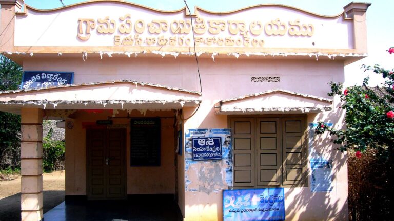 Andhra PradeshAndhra Pradesh raises reward for unanimous panchayats to as much as Rs 50 lakh
 Andhra PradeshAP and Telangana to borrow Rs 1,000 crore each at RBI bond auction on 17 November
 Andhra PradeshAP municipal polls phase two: nominations open in 23 urban bodies, vote on 26 November
 Andhra PradeshAP panchayat polls: nominations open 15 November for 3,967 sarpanch posts in phase one