
Original bilingual journalism · English & తెలుగు

Deep depression likely to cross Andhra coast between Nellore and Tuni by 20 November
IMD's 4 pm bulletin on Monday, 16 November, says the deep depression, 730 km south-south-east of Visakhapatnam, is likely to cross the Andhra Pradesh and Yanam coasts between Nellore and Tuni around noon on Friday, 20 November, as a very severe cyclonic storm with winds of 120-130 kmph, gusting to 145.

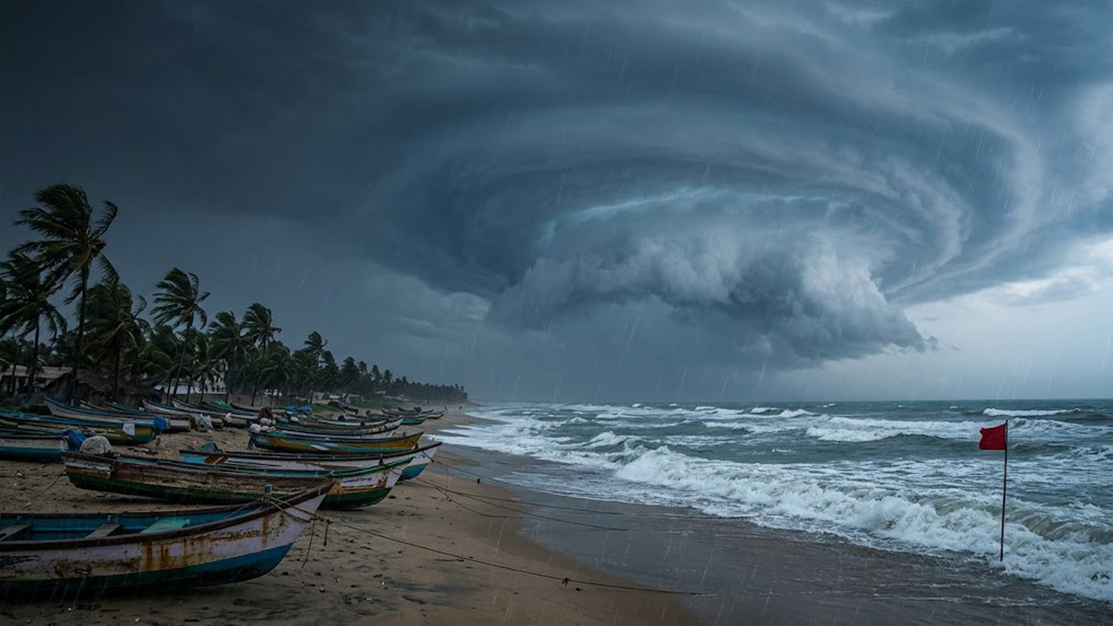
Updated at 5.10 pm IST, Monday 16 November, with IMD’s National Bulletin No. 8 on the deep depression.
The deep depression in the Bay of Bengal is now expected to cross the Andhra Pradesh coast. In National Bulletin No. 8, issued at 4 pm on Monday, 16 November, the India Meteorological Department (IMD) placed the system at 11.30 am about 730 km south-south-east of Visakhapatnam and 650 km east-south-east of Chennai. It moved north-north-west at 17 kmph over the previous six hours. The Andhra Pradesh and adjoining south Odisha coasts remain on a pre-cyclone watch.
It is very likely to become a cyclonic storm by Monday evening and a severe cyclonic storm by Tuesday evening, 17 November. After that it is likely to intensify further, turn west-north-west and cross the Andhra Pradesh and Yanam coasts between Nellore and Tuni around noon on Friday, 20 November, as a very severe cyclonic storm with maximum sustained winds of 120-130 kmph, gusting to 145 kmph.
Rain and wind on the coast
IMD’s bulletin forecasts heavy rain at isolated places in coastal Andhra Pradesh on Wednesday, 18 November. On Thursday and Friday, 19 and 20 November, heavy to very heavy rain is likely at a few places, with extremely heavy rain of 21 cm or more at isolated places. Rayalaseema could get heavy rain at isolated places on both days.
District warnings from the Meteorological Centre in Amaravati on 15 November put 13 districts and Yanam on orange alert for 19 and 20 November, with extremely heavy rain possible in Kakinada, Konaseema and Yanam on both days.
Coastal winds of 40-50 kmph, gusting to 60, are likely until Tuesday, then gales of 60-70 kmph, gusting to 80, until Thursday morning. From Thursday night to noon on Friday IMD expects 120-130 kmph, gusting to 145. The sea is likely to be phenomenal from Thursday evening to Friday morning, with waves of 9-14 metres. At landfall, a storm surge of 1-1.5 metres above the astronomical tide is likely to flood low-lying areas of Prakasam, Bapatla, Krishna, West Godavari, Konaseema and Kakinada districts, IMD warned.
Boats, homes, farms and Telangana
Fishermen should keep out of the south-west Bay until 19 November, the central Bay from 16 to 20 November and the north-west Bay on 19 and 20 November, IMD said. Coastal hut dwellers should be moved to safer places, and people in affected areas should stay indoors. IMD warned of major damage to thatched and kutcha houses, standing crops, banana, papaya and coconut trees, and of disruption to roads, railways and power lines.
In Telangana, heavy to very heavy rain is likely at isolated places in the eastern districts on Friday, with isolated heavy rain on Saturday, 21 November. Sunday’s day-by-day guide has the earlier forecast. IMD’s next message is due at 8.30 pm on Monday, on its cyclone page.
Telugu Scope illustration.
More Stories
 Andhra PradeshAndhra fishermen told to stay ashore till 20 November as IMD sees 145 km/h gusts
 Andhra PradeshThree Andhra Pradesh industrial nodes pitched at Rs 31,360 crore and 2 lakh jobs
 Andhra PradeshSyed Mushtaq Ali Trophy: Himachal beat Andhra by eight runs in Mohali
 Andhra PradeshAP panchayat polls phase two: 4,960 sarpanch posts, Srikakulam has the most
 Andhra PradeshGiribabu, farmer’s son who played hero, villain and father in 600-plus films, dies
 Andhra PradeshBay of Bengal low becomes a depression: what Andhra faces day by day to 20 November