
Original bilingual journalism · English & తెలుగు
Isolated to scattered rain for Andhra till 26 October as IMD tracks a new Bay of Bengal low
The India Meteorological Department expects isolated to scattered rain over Coastal Andhra Pradesh and Rayalaseema until 26 October, and a low-pressure area over the Bay of Bengal around 23 October that may intensify.

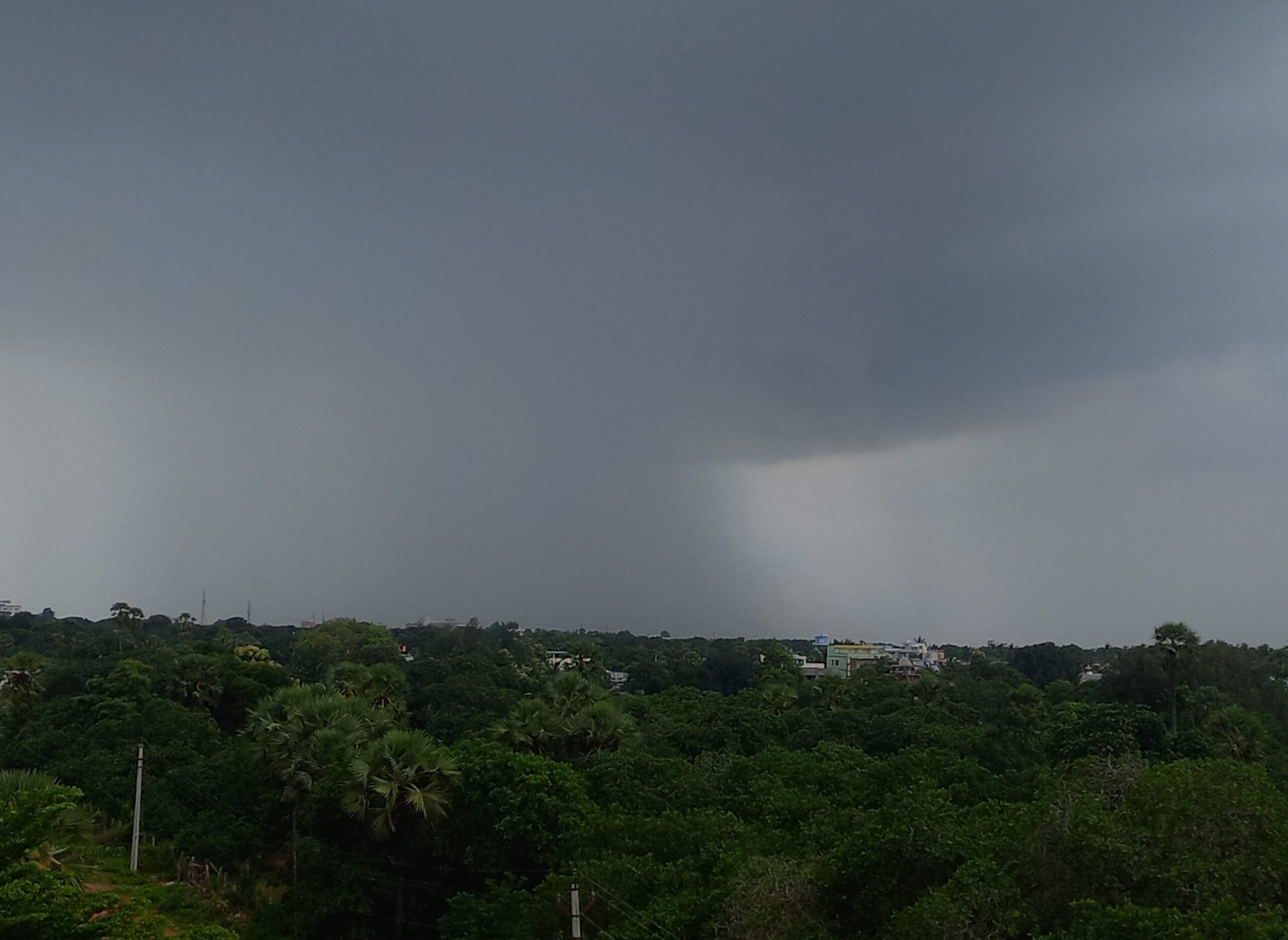
Coastal Andhra Pradesh, Yanam and Rayalaseema can expect isolated to scattered rain until 26 October, the India Meteorological Department (IMD) said in its national weather bulletin issued on the evening of 20 October. The department is also tracking a system that is likely to form a low-pressure area over the Bay of Bengal around 23 October and could strengthen after that.
The bulletin flagged heavy rain at isolated places over both regions on 20 and 21 October. Thunderstorms with lightning and gusty winds of 30 to 40 kmph, gusting to 50 kmph, are likely in coastal Andhra Pradesh and Yanam until 22 October and in Rayalaseema until 23 October.
Two systems over the Bay
The current spell is driven by an upper-air cyclonic circulation over the southwest Bay of Bengal off the Tamil Nadu coast, with a trough running from it to north coastal Andhra Pradesh. IMD expected a low-pressure area to develop in that region within 24 hours of its 20 October bulletin.
A second circulation, over the Gulf of Thailand, was forecast to emerge into the north Andaman Sea on the morning of 21 October. Under its influence, IMD expects a low-pressure area to develop around 23 October over the southeast Bay of Bengal and the neighbouring east-central part of the Bay. The system is then likely to move northwestwards and intensify over the following three days.
In its tropical weather outlook dated 20 October, IMD’s regional cyclone centre in New Delhi put the chance of a depression forming at nil until the morning of 25 October, low in the 24 hours to the morning of 26 October, and moderate in the 24 hours to the morning of 27 October. IMD has not said whether or where the system may reach the coast. Fishermen have been told not to venture into the Andaman Sea between 23 and 25 October.
What it means for farmers
The rain comes to a state short of water. On 1 October, the government declared 388 of Andhra Pradesh’s 688 mandals in 21 districts drought-affected for the 2026 kharif season, with 283 classed as severe and 105 as moderate.
IMD’s farm advisory for coastal Andhra Pradesh asks growers to arrange drainage in standing rice, maize, finger millet, groundnut and vegetable fields. It advises harvesting mature groundnut and maize during dry intervals and storing the produce safely, and putting off fertiliser application and pesticide spraying while heavy rain lasts. It also recommends staking vegetables and giving support to horticulture crops against strong winds.
The Andhra Pradesh State Disaster Management Authority has asked people to take precautions during thunderstorms, shelter in safe buildings when there is lightning, and avoid standing under trees or near electric poles.
What to watch next
IMD’s next outlooks will show whether the low expected around 23 October deepens into a depression and which direction it takes. Farmers in drought-hit mandals, coastal residents and fishing communities should follow district-level warnings from IMD’s Amaravati centre and the APSDMA as the forecast is updated.
Rain falling from dark clouds over Rajanagaram in East Godavari district during the monsoon, July 2024. File photo. Photo: Adityamadhav83 / CC BY 4.0 via Wikimedia Commons
More Stories
 Andhra PradeshBay of Bengal low expected to become a cyclone on 26 October; coastal Andhra braces for heavy rain on 27 and 28 October
 Andhra PradeshNaidu sets December 2028 for 36 irrigation projects and orders Chintalapudi works to restart in November
 Andhra PradeshTirumala’s five reservoirs gain a net 40.08 lakh gallons in TTD’s 23 October reading
 Andhra PradeshAndhra’s local polls turn violent at the nomination desk: what the record says, then and now
 Andhra PradeshKrishna board’s full meeting on 26 October to take up water sharing and Srisailam drawals
 Andhra PradeshAt least four Bhavani devotees die after speeding vehicle hits them near Kathipudi