
Original bilingual journalism · English & తెలుగు

Cyclone Akvan: winds, sea and damage IMD expects on the north Andhra coast, and what it advises
IMD expects gale winds of 90-100 kmph on the north Andhra Pradesh and Yanam coasts from midnight until landfall on Friday, and has listed the damage to expect and the steps people should take.

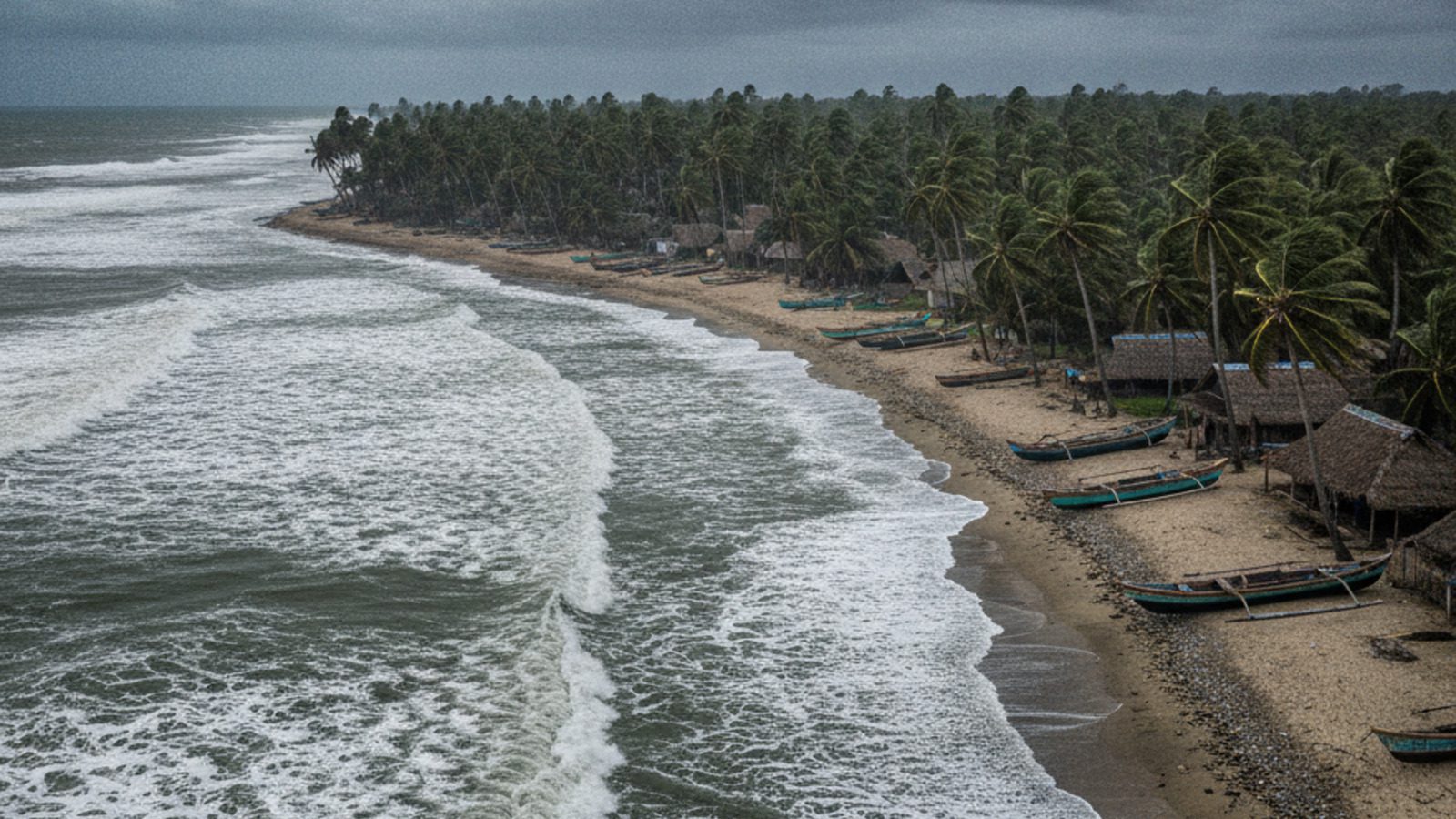
Severe Cyclonic Storm Akvan is about 390 km east-southeast of Narsapur, and the India Meteorological Department (IMD) expects it to cross the coast between Narsapur and Puri, close to Gopalpur, by noon on Friday, 20 November. This report sets out what IMD’s National Bulletin No. 32, issued at 5.30 pm on Thursday, says about the winds, the sea and the damage to expect, and what it advises. For the storm’s position and rain by district, see our latest report.
Wind timeline
Along and off the north Andhra Pradesh and Yanam coasts, gale winds of 60-70 kmph, gusting to 80 kmph, are prevailing. They are expected to rise to 90-100 kmph, gusting to 110 kmph, from midnight on Thursday until landfall at noon on Friday, and to decrease gradually afterwards. Off the south Odisha coast, winds of 80-90 kmph, gusting to 100 kmph, are expected from midnight until Friday afternoon. Squally winds of 50-60 kmph, gusting to 70 kmph, are likely along and off the south Andhra Pradesh coast until Friday noon.
Sea conditions
IMD says the sea off north Andhra Pradesh and Yanam is high now and will become high to very high from midnight until landfall. In the west-central Bay of Bengal it is very high and will stay so until landfall, with waves of 9-12 metres, before easing to very rough to rough by the morning of 21 November. A storm surge of 0.5 to 1 metre above the astronomical tide may flood low-lying parts of Kakinada, Visakhapatnam, Vizianagaram and Srikakulam districts at landfall.
Damage IMD expects
For north coastal Andhra Pradesh and Yanam and south Odisha, IMD expects major damage to thatched houses and huts and to kutcha houses. Roof tops may blow off, unattached metal sheets may fly, and hoardings and trees may come down. Power and communication poles may be damaged. It warns of major damage to standing and coastal crops, plantations and orchards, including banana, papaya and drumstick trees, and of falling green coconuts.
Roads may be damaged and escape routes flooded, with waterlogging in low-lying areas and disruption of traffic in major cities. Railways, overhead power lines, signalling systems, airports and heliports may be disrupted. IMD lists riverine, urban and coastal flooding as secondary hazards, and possible landslides in hilly areas.
What IMD advises
IMD asks for a total suspension of fishing in the southwest Bay of Bengal until 20 November, in the west-central Bay until 21 November and in the northwest Bay from 19 to 21 November. Coastal hutment dwellers should be moved to safer places and people in affected areas should stay indoors, avoiding vulnerable structures. It also advises judicious regulation of rail, road and air traffic, avoiding areas that often face waterlogging, following traffic advisories, no movement of motor boats and small ships, and a total suspension of offshore and onshore operations. Dam and reservoir authorities may assess their dams.
IMD issues its national bulletin about every three hours on its cyclone page; the advice above may change with the next bulletin.
Telugu Scope illustration.
More Stories
 Andhra PradeshVaikuntha Dwara Darshan for 8.34 lakh devotees from 20 to 29 December; no sarva darshan on first two days
 Andhra PradeshFire destroys up to 300 fishing nets in Prakasam; Pawan Kalyan orders aid and inquiry
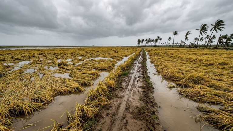 Andhra PradeshNaidu puts cyclone losses above Rs 7,000 crore, asks Nirmala Sitharaman for immediate aid
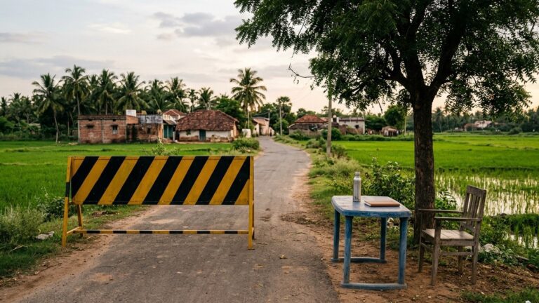 Andhra PradeshAP local body polls: police bind over 5,327 people, book 444 code violations
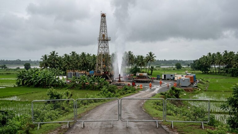 Andhra PradeshONGC gas leak in Konaseema brought under control; homes within 1 km had been emptied
 Andhra PradeshCyclone Akvan: Naidu wants warnings taken straight to people as the storm crawls in